Kickstart Agroforestry
When assessing a place or piece of land, it is essential first to understand the conditions of the site: the soil, water, slope/topography, vegetation, access, infrastructure, and past or current human activities and impacts.
First, gather information about your site remotely by reviewing existing soil and aerial maps, historic land uses, and current climate information. Then, walk the site during different seasons and weather conditions to collect soil samples, make observations, survey vegetation, and identify microclimates. If possible, it is best to take a full year (or more) to complete a site assessment in order to understand how the site responds during different seasons and weather events.
Collect as much data as possible and make notes about each of the following categories:
|
Remote |
On-Site |
|
|---|---|---|
|
Maps/Landform |
Aerial photos |
Position |
|
Soils |
Soil type |
Collect soil samples: chemical and biological assay, organic matter, pH |
|
History |
Current and past land use |
Human activities and impacts |
|
Climate |
Average rainfall |
Microclimates |
|
Water |
Watershed |
Seasonal flooding |
|
Vegetation and Wildlife |
Bioregional information |
Dominant species |
|
Infrastructure |
Existing structures |
Building conditions |
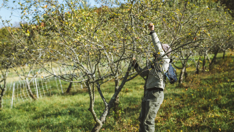
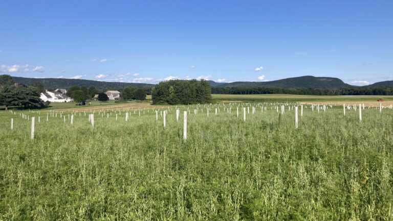
Header photo credit: Jen Salinetti, Woven Roots Farm